USACE Databases and Maps
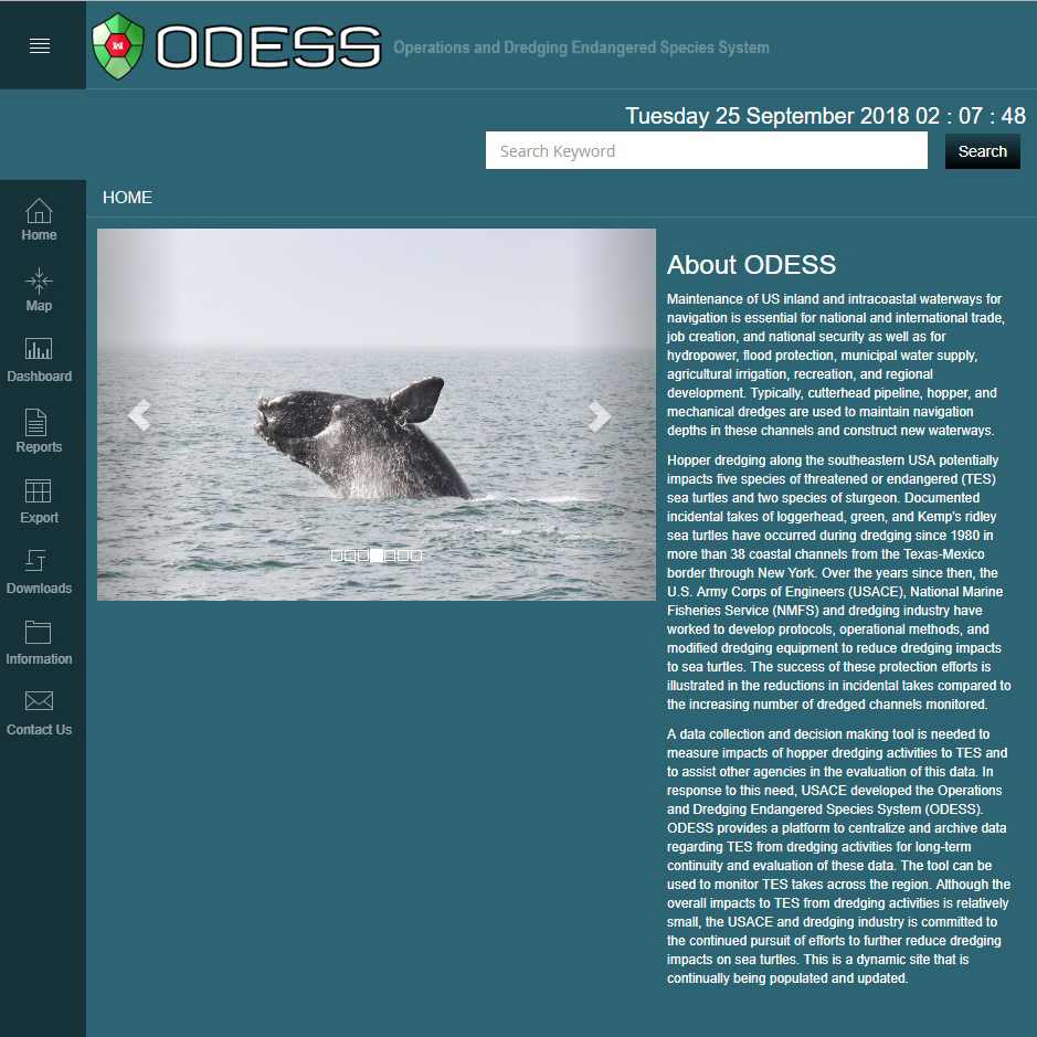
Operations and Dredging Endangered Species System: USACE
ODESS provides a platform to centralize and archive data regarding threatened or endangered species from dredging activities for long-term continuity and evaluation of these data. The tool can be used to monitor TES takes across the region. Although the overall impacts to TES from dredging activities is relatively small, the USACE and dredging industry is committed to the continued pursuit of efforts to further reduce dredging impacts on sea turtles. This is a dynamic site that is continually being populated and updated.
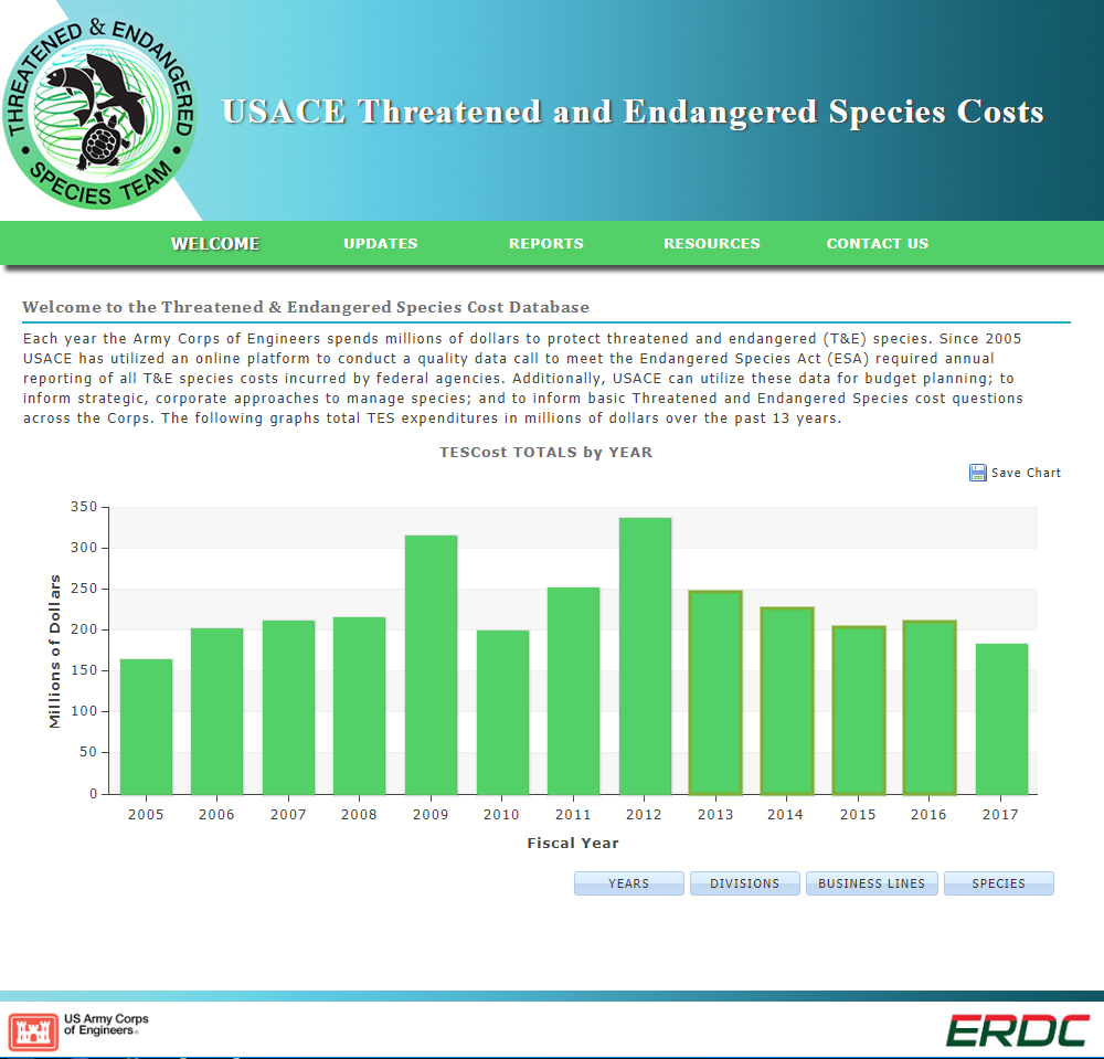
Threatened & Endangered Species Cost Database: USACE-ERDC
Explore the many millions of dollars USACE spends to protect threatened and endangered (T&E) species each year. Since 2005 USACE has utilized an online database to fulfill the annual Endangered Species Act (ESA) required reporting of all T&E species costs incurred by federal agencies. Feel free to utilize these data for budget planning, strategic species management, and to inform basic T&E species cost questions across the Corps.
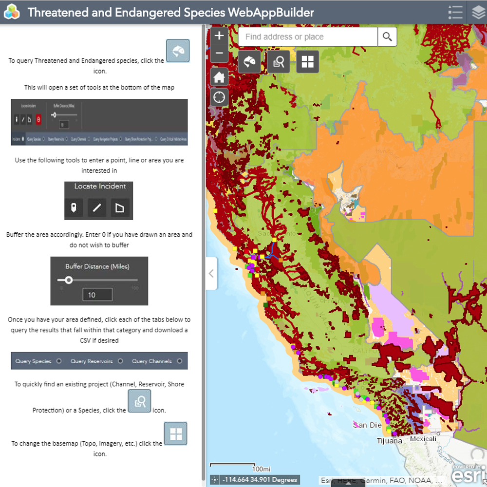
Threatened and Endangered Species (TES) Web Map: USACE-ERDC
An online, geo-enabled portal developed to assist with impact assessment for project planning and operational activities. Identify project overlap with critical habitat and species ranges for species with greatest operational impact.
Other Databases
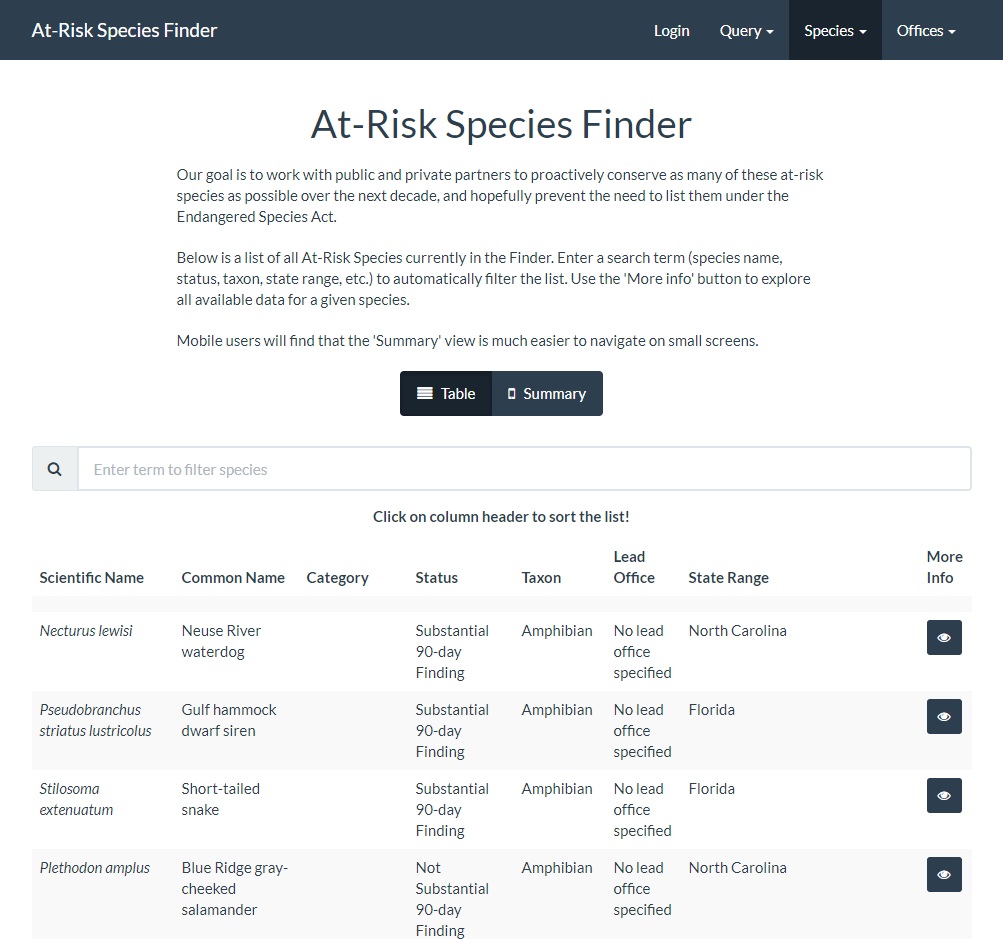
At-Risk Species Finder: U.S. Fish and Wildlife Service
The At-Risk Species Finder (Finder) is an online tool that allows U.S. Fish and Wildlife Service (Service) biologists and private citizens to track the Service’s progress on at-risk species conservation. The Finder allows users to create custom database queries based on a number of attributes including state range, current status, taxonomic group, lead Service office, and lead geographic region.
Center for Conservation Innovation: Defenders of Wildlife
The Center focuses on improving endangered species conservation in the U.S., especially under the Endangered Species Act (ESA). This webpage contains many features. Explore data on all section 7 consultations performed by the U.S. Fish and Wildlife Service since 2008. Search ESA documents. Use species specific interactive maps to view species occurrence, suitable habitat, critical habitat, and more.
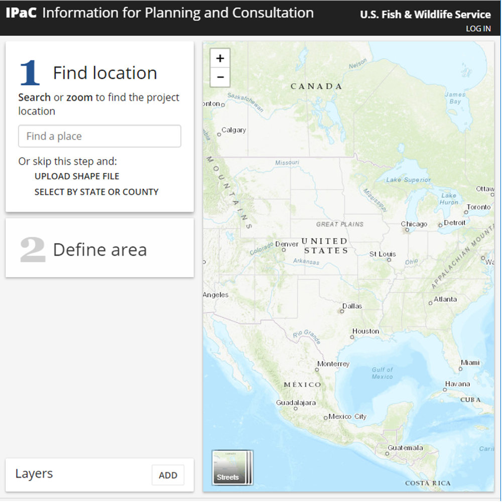
Information and Planning for Conservation (IPaC): U.S. Fish and Wildlife Service
IPaC is a project planning tool which streamlines the environmental review process by providing information on the location of listed species and other USFWS trust resources which could potentially be affected by a project.
